


A new milestone was created in terms of making geospatial data collected by the Government freely available to the citizens and organisations across India when the National Atlas & Thematic Mapping Organisation (NATMO) launched its Geo-portal ‘Manchitran’.
This portal launched within six months of the Government’s announcement of the liberalization of collection and dissemination of geospatial data by removing a lot of cobwebs of the past in one sweep was a transformative step in the Geospatial and Remote Sensing Sectors and provides all users unrestricted access to digital versions (e-Atlas and PDF Maps) of all publication with different geospatial layers as well. ‘Manchitran’ is a giant leap forward in the arena of geospatial data sources and the setting of infrastructure along with the applications. This Geo-portal showcases the huge, authenticated and valuable data that NATMO acquired during its long 65 years of service to the nation. Own Data Center has been built up with indigenous Make-in-India state-of-the-art infrastructures and technologies with minimum financial involvement and time period for providing online thematic map services. It has also helped to establish the usefulness and scope of geographical training beyond classrooms and arm-chairs.
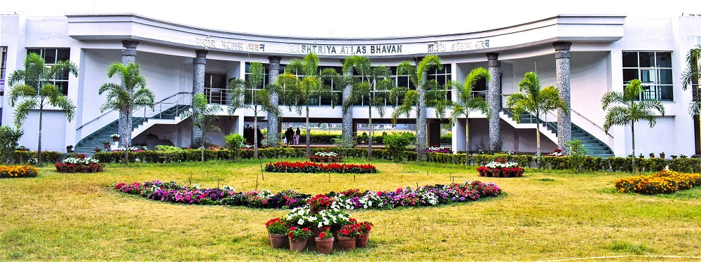
NATMO, which has started 24x7 map services like Web Map Services, Web Feature Services etc. in compliance with OGC standards through its Geo-portal ‘Manchitran’, is an Attached Office of the Department of Science & Technology (DST), Ministry of Science & Technology, Government of India. It is a pioneer in thematic mapping services since its inception in 1956, and is the only agency of the country catering to the requirements of thematic maps and atlases for different sectors. Headquartered in Kolkata and initially known as the National Atlas Organisation (NAO), it was established under the able leadership of Prof. S. P. Chatterjee, the doyen of Indian Geography. The newly formed team under him worked very hard to publish the first ever National Atlas of India - Bharat Rashtriya Atlas (in Hindi) in a record time of nine months.
Over the years, the organisation grew in strength and successfully executed several projects of national importance. It has published more than hundred atlases, more than five hundred thematic maps and nearly two hundred monographs. The organisation offers more than fifty different services, related to cartography. Agricultural Atlas, Environmental Atlas, India ASEAN Archaeological Atlas, Health and Disease Atlases, State Atlases and Maps, District Planning Map Series, Golden Map Service, Land-use Maps, Tourist Maps, Maps of Climatic Regions, Urban Population, Natural Hazards, Cultural Heritage Atlas, Irrigation Network, Atlas for Visually Impaired People — are all meticulously prepared and offered by NATMO for usage in different sectors. Currently NATMO is engaged in developing a unique atlas on Women Empowerment in the country in collaboration with the Science for Equity, Empowerment & Development (SEED) Division of DST.
Since its inception, NATMO is engaged in collaborative work with different government and non-government organizations like Forest Survey of India, Ministry of Jal Shakti, Ministry of Culture, Central Pollution Control Board, National Disaster Response Force, Vivekananda Institute of Biotechnology etc. Even NATMO provides consultancy services in geospatial mapping.
NATMO has the largest repository of spatial and non-spatial data processed with great accuracy and with changing times, it also keeps pace with the latest technologies like GIS, GPS and Remote Sensing.
The main focus of its operation revolves around compilation of the national atlas in different Indian languages, preparation and publication of thematic maps based on various data, digital mapping using the latest technologies, developing different types of maps for the visually challenged, research and development in modern cartographic services and providing training on GIS, GPS, remote sensing and cartography to students, researchers, teachers, professionals, industrialists, policy makers, administrators and so on.
")


")


